Aerial Photography
About the collection
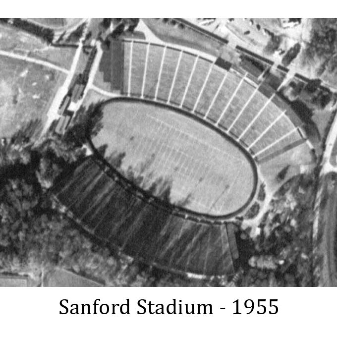
The Map and Government Information Library maintains the largest collection of aerial photography of the State of Georgia outside of the National Archives. The collection consists of over 230,000 photos from the late 1930s through the mid-1990s, produced by a variety of state and federal agencies, including the U.S. Department of Agriculture and the U.S. Geological Survey.
Visit our Aerial Photography and Remote Sensed Imagery guide for information about requesting photos from our collection, how to use our digitized indexes, and how to find a photo of your site of interest. The UGA’s ASCS Inventory page displays our holdings for Agricultural Stabilization and Conservation Service photos from the late 1930s through the mid-1990s. This guide also includes online resources for aerial photos and satellite imagery.
Access
The Georgia Aerial Photography Collection provides access to digital versions of all county indexes in MAGIL’s physical collection, with photos being added on a regular basis. MAGIL also has the statewide set of USGS NAPP photos from 1988 and an index to the set is now available online.
All requests for photographs not yet available for download in the digital collection must be submitted to the Aerial Photograph Request Form. Physical access is permitted via appointment only. Please see the Access to Georgia County Aerial Photographs policy for more information.
Alternately, UGA Libraries maintains a list of Independent Researchers who are willing to conduct research for a fee.