Map and Government Information Library

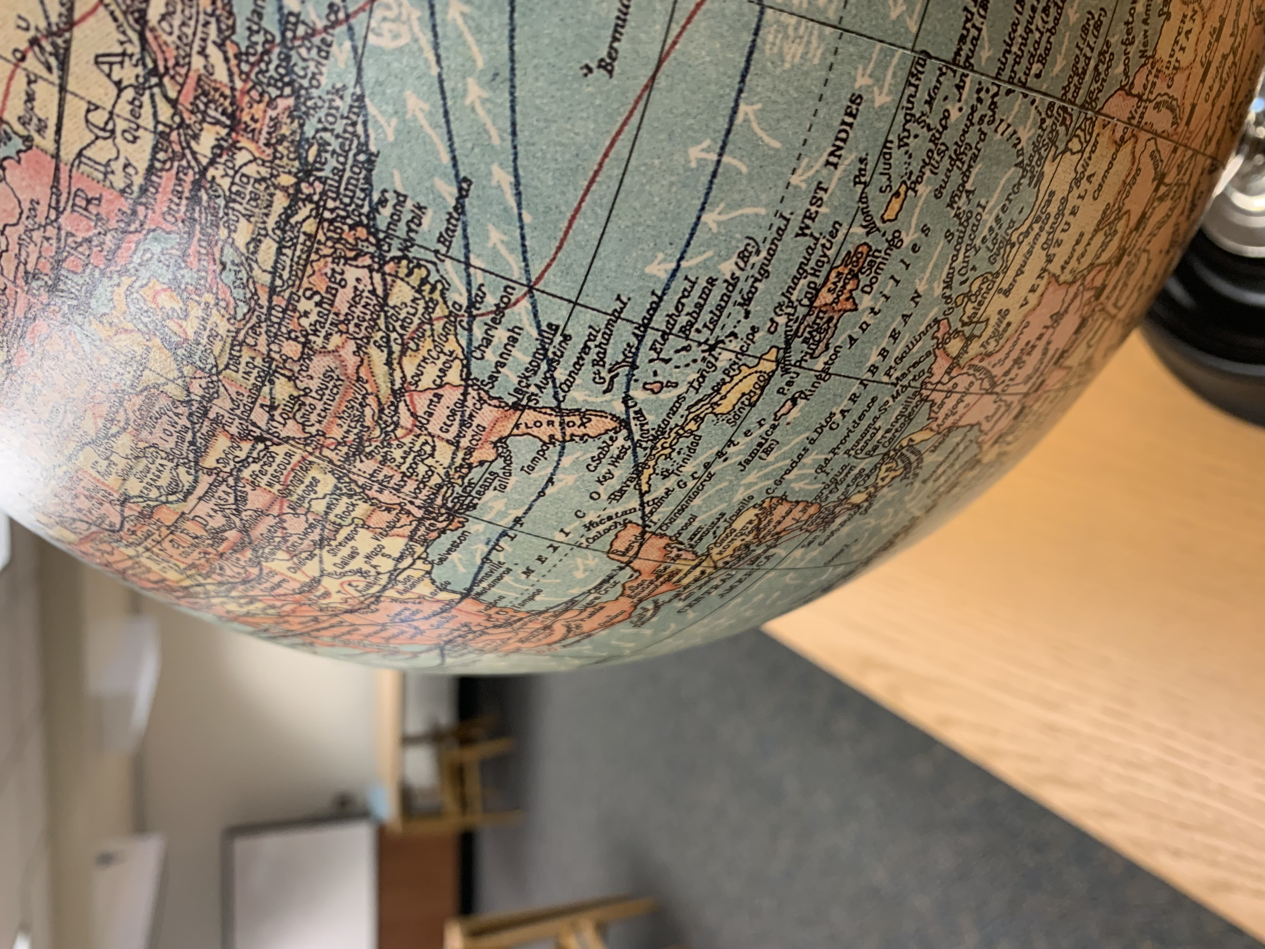
The Map and Government Information Library (MAGIL) acquires, organizes and provides access to cartographic and government information. It is located in the sub-basement of the Main Library. Researchers are encouraged to explore our collections, both print and online, and staff is on hand to offer assistance with locating resources. An appointment is required for in-depth research assistance.
The UGA Libraries serves as Georgia's regional depository for documents published by the Federal government as well as the official depository for documents published by the State of Georgia. Government information produced by select international organizations, including the United Nations, is also collected. Cartographic resources include maps, aerial photography and remote sensed imagery, atlases, digital spatial data, and reference materials, with a particular emphasis on the State of Georgia.
Maps and government documents have been an integral part of the University of Georgia Libraries for over 100 years. For more information, read about the history of MAGIL.
